
Walk an Augusta Street by Address
The strongest Augusta street directory search begins with a place, not a person. The county assessment roll can identify the owner attached to a mapped parcel, but ownership is not the same as residence. A tax mailing address may point somewhere else. Build the trail in a fixed order so each source has a clear role and each name remains tied to a dated record.
- Enter the exact address in Augusta Maps. Record the situs address, owner, parcel number, legal description, and deed book or page shown on the card.
- Keep the parcel layer visible and click nearby lots along the street. This reveals the mapped sequence without relying on spelling guesses.
- Open the current owner's acquisition deed through the GSCCCA Real Estate index. Compare the legal description, not just the street line.
- Use the official state voter-list order channel only when a lawful street-level registration file is needed. My Voter Page checks one known voter and cannot browse a block.
- For an older household, move to address sections in Augusta city or telephone directories, then test the dated listing against census and deed evidence.
This flow separates a mapped owner, a deed party, a registered voter, and a published directory resident. Those labels can overlap, but they should never be treated as interchangeable. Save the source date and the exact indexed spelling for every row.
Augusta Street Search Fields
Augusta Maps is the main address-first portal for Richmond County. It supports direct searches and map browsing, then opens printable property information. Its sales tools can also compare parcels within a drawn area or circular radius. The controls below matter most for a by-address search.
| Map control | Input | What it adds | Use with care |
|---|---|---|---|
| Address | Street number and name | Finds a mapped location | Confirm the selected parcel |
| Owner | Current digest name | Finds parcels indexed to a person or entity | Name variants can miss records |
| Parcel or map number | Stable identifier | Returns a specific parcel | Best bridge between sources |
| Layers | Checkbox tree | Shows ZIPs, neighborhoods, historic districts, and boundaries | Add one or two at a time |
| Identify | Click a polygon | Opens feature and property-card details | A mapped line is not a survey |
| Sales Search | Type, size, neighborhood, polygon, or radius | Compares area sales | It is not a household-radius report |
The official Augusta Maps help guide explains visible-scale behavior, search panels, and map tools. If a checked layer appears blank, zoom until its configured scale is reached.
The Georgia Department of Revenue county property directory leads into the county-property access route shown below.
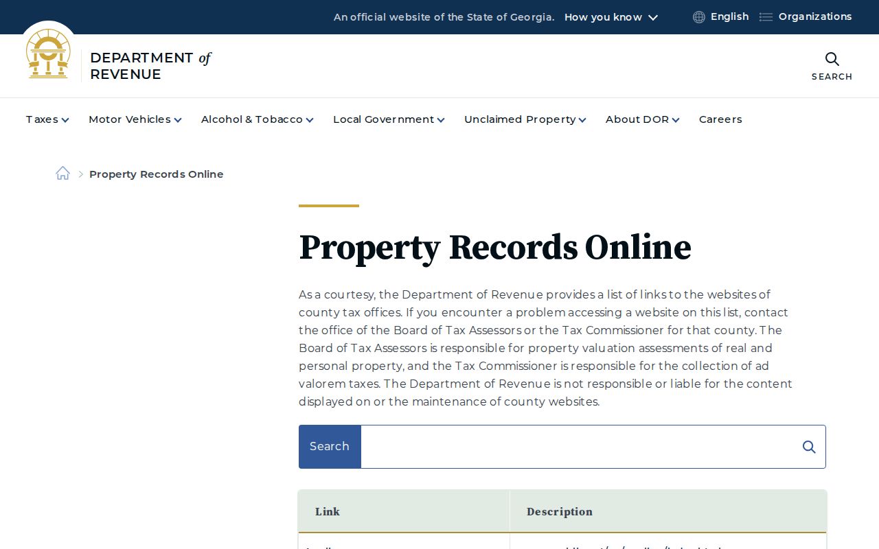
The state directory is useful when a saved county bookmark changes, while Augusta Maps remains the local tool for parcel-by-parcel work.
Records Behind Augusta Street Listings
No Augusta street directory is complete on its own. Each record set answers a narrower question, and access may be online, at a public terminal, through a department, or by request. The parcel number and legal description create the most reliable link between the map, card, deed, and plat.
| Address source | Richmond keeper | Street evidence | Access route |
|---|---|---|---|
| Parcel and tax card | Board of Tax Assessors | Owner, situs, mailing address, value, exemptions | Free Augusta Maps viewer and assessor office |
| GIS layers | Augusta GIS | Parcels, ZIPs, districts, neighborhoods, municipal lines | Free map and REST legend |
| Deeds and plats | Superior Court Clerk and GSCCCA | Transfer parties, book/page, legal lot | Online index from 1990, courthouse terminal, older books |
| Permits and code cases | Planning & Development and Code Enforcement | Site, work, dates, applicant or responsible party when public | Department access or precise records request |
| Voter file | Georgia SOS and Board of Elections | Public registration names and residence fields | Paid standardized order; protected addresses withheld |
| Historical directories | Georgia Heritage Room | Dated listed residents or businesses by address where arranged | Books, microfilm, databases, and remote staff check |
For corrections, contact the office that controls the field. The assessor handles assessment data, GIS handles map or address geometry, and the clerk or GSCCCA handles deed indexing. Augusta's general open-records portal expressly routes deed, court, probate, and vital requests elsewhere.
Read Augusta Parcel Language
Small wording differences prevent large mistakes. A street search should preserve each field as the custodian labels it, especially when the tax card and the deed use different forms of an address.
- Parcel
- A mapped unit used by the assessor. Its parcel or map number is often more stable than a street label.
- Situs address
- The physical location of the parcel. It differs from the mailing address used for tax notices.
- Plat
- A recorded drawing of lots, boundaries, and related land features. It identifies land, not occupants.
- Criss-cross directory
- A directory arranged by street and house number rather than only by surname.
A different owner mailing address does not prove that the parcel is vacant or occupied by someone else. Homestead information can support owner occupancy, but it cannot name every member of a household.
Link Augusta Parcels to Deeds
The Richmond deed custodian is the Clerk of Superior Court. A GSCCCA result can show the indexed party role, instrument, filed date, deed book and page, subdivision, unit, block, lot, comments, description, and cross-reference. The observed Richmond index states that county data is good from January 1, 1990. Older work moves to grantor and grantee books, deed books, plats, microfilm, and clerk help.
Search the current owner as grantee, meaning the person or entity receiving an interest. Open that acquisition deed and identify the grantor, the party conveying it. Then search the grantor as a prior grantee. Repeat while the full legal description continues to match. A security deed is financing evidence, not the same as a sale, and a quitclaim instrument alone does not prove a market purchase.
Augusta's published GIS legend confirms the local layer inventory used beside deed research.
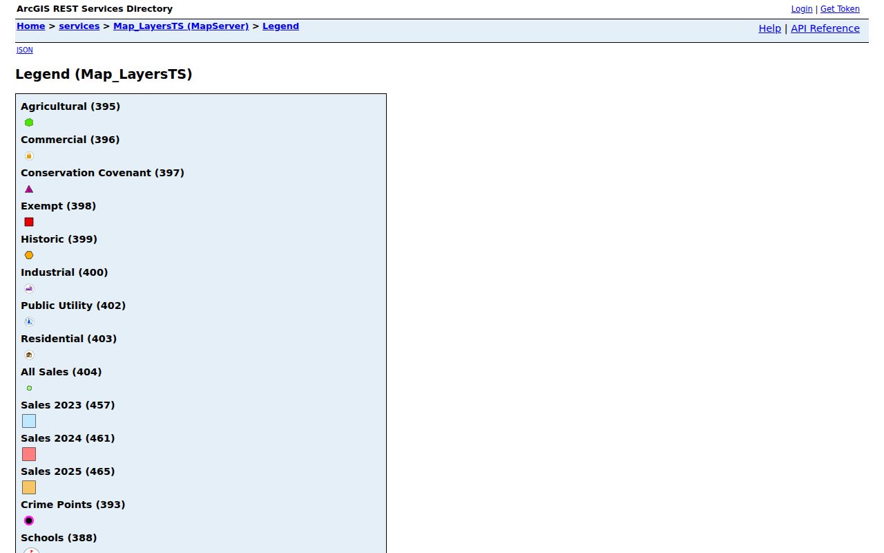
The legend helps choose parcel, neighborhood, historic-district, ZIP, and municipal-boundary context without treating any one layer as proof of residence.
Richmond's digital cutoff. The online deed trail reaches 1990, while the older chain remains in clerk indexes and books.
Augusta Address Permits and Cases
Property records say who is on the assessment roll. Municipal files can say what happened at the site. Augusta Planning & Development handles building permits, plan review, zoning, inspections, and development services. A permit may name an applicant or contractor and provide a date, permit type, and status. It does not establish who lived in the building.
The linked Planning & Development source introduces the official address-record channel shown here.
This department is the right custodian for a narrowly written request for existing permit index fields at a named address.
Unified Code Enforcement administers property maintenance, zoning, nuisance, and minimum property standards in incorporated Augusta-Richmond County. Some responsible-party information may be public, but complainant or sensitive details may be redacted.
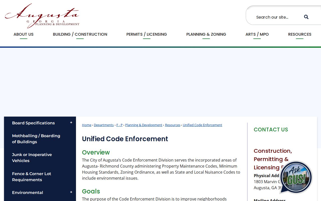
Code cases add site and condition evidence to the street record, never a complete resident list.
When no direct index answers the question, ask for an electronic copy of existing permit fields for the address and date range. Request the permit number, application date, type, applicant or contractor, and status. Under the Georgia Open Records Act, an agency generally responds with records, a legal denial, or a timetable and cost estimate within three business days.
Augusta Voter Data by Street
Georgia My Voter Page is built to verify one known voter with first initial, last name, county, and date of birth. It is not a browseable Augusta street directory. Georgia does make standardized voter lists with names and addresses available through the Secretary of State order process. A countywide file may be sorted into street context, but it is a paid public file, not a live household roll.
Registration proves only that the record existed in the voter system. It does not show ballot choices, and Georgia does not register voters by party. Protected identifiers stay out of the general list. VoteSafe also shields qualifying residence addresses, so a blank or protected result must remain private.
Note: Compare voter data with a dated parcel or directory source, and never infer unlisted household members from an incomplete public roll.
Reverse an Older Augusta Street
The Georgia Heritage Room holds Augusta city directories from 1841 forward with gaps, plus telephone directories in collection MS 181. Address or criss-cross sections, when a volume includes them, can place a listed person or business at a house number on the publication date. Early personal-name indexes run from 1841 through 1902, so some searches must begin with a name and turn back to the full entry.
Do not expect every old Augusta address to stay stable. No official citywide renumbering year or verified street-change table was found. Compare editions one year before and after a break. Then carry the subdivision, lot, or metes-and-bounds description through deeds and check Sanborn index sheets. That method can bridge an address discontinuity without inventing a modern match.
The historical shelf belongs in depth on the Augusta city directory collections page. For street work, its role is narrower: attach a dated listing to the correct land and address form.
Augusta Streets Cross Record Lines
A postal Augusta label is not a final jurisdiction decision. Richmond County includes the separate municipalities of Blythe and Hephzibah, while Martinez-edge addresses approach Columbia County and North Augusta lies across the Savannah River in South Carolina. Augusta Maps can display ZIP Codes, municipal boundaries, the Richmond County line, neighborhoods, and old city limits beside parcels.
Confirm an exact mailing line through USPS ZIP Lookup, then check the parcel and boundary layers. The military geography of ZIP 30905 and the institutional ZIP 30912 also differ from an ordinary neighborhood search. Those areas may not yield a normal street-by-street pattern.
Note: Use postal geography to locate an address, then use county and municipal boundaries to select the proper Augusta-area custodian.
Limits of an Augusta Street Directory
A public street roll cannot supply a full occupant list. People who own no property, are not registered to vote, or were omitted from a published directory may leave no address-keyed trace. A parcel owner is not proof of who sleeps there. Tax correspondence does not establish residence. Permit applicants and deed parties can be tied to the site without ever joining its household.
Motor-vehicle address data is protected by federal law. Utility-customer and delivery data should not be treated as open resident directories. Georgia also redacts specified personal data, and VoteSafe protects qualifying voters whose addresses could place them at risk.
Lawful use. Augusta address records are for personal research, family history, property inquiry, and civic transparency. Never use them to stalk, threaten, harass, or expose a protected person.